Partners & Tools
Regional fire science partner sites and tools.
Narrow by...
Topics & regions
- Climate & Fire (1)
- Fire Behavior & Weather (1)
- Fire Ecology & Effects (1)
- GIS & Remote Sensing (1)
- Mojave & Sonoran Desert (1)
- Sierra Nevada (1)
- Human Dimensions of Fire (2)
- Restoration (2)
- Central & Southern California (3)
- Fuels & Fuel Treatments (3)
- Prescribed Fire (3)
- Northern California (6)
- Model/Tool/Technology (7)
- Fire Communication & Education (9)
- Wildland-Urban Interface (WUI) (12)
Type
Date
Databases/Datasets
There are multiple resources for teachers or educators who want to bring some fire science ideas to the classroom, here’s one for the Sierra Nevada and one for Southern California.
A list of research projects about the Rim Fire to promote collaboration and communication.
Download GIS datasets from the USFS Pacific Southwest Region
The information and file links on this webpage contain a data set of historical and recent fuels treatments conducted across Southern California.
Models & Tools
The California Forest Observatory is a data-driven forest monitoring system. The system maps the drivers of wildfire hazard across the state—including forest structure, weather, topography & infrastructure—from space.
This Story Map tells the story of the 2017 fires, with a specific emphasis on how natural habitats fared during and after the fires, and the important role of science and data in enhancing watershed and community resiliency, land management, and education.
This website discusses the work being done here and has an amazing set of photos, videos, and even a virtual reality immersive experience (under the media gallery tab).
The California Native Plant Society has produced a Fire Recovery guide that can be downloaded or ordered at http://cnps.org/fire-recovery.
Website
Interactive local maps of climate change and related environmental effects: fire, temperature, weather, and more. The raw data used in the maps is available for download from the site.
MTBS is a multi-year project designed to consistently map the burn severity and perimeters of fires across all lands of the United States for the period spanning 1984 through 2010.
Partner Organizations
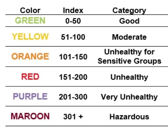
Smoke exposure from wildfires is an increasingly common public health hazard to communities throughout California. Knowing where to find accurate information and being prepared to act when smoke is in the air can help you protect yourself and your family. This factsheet from UCANR Fire Network provides background on the health impacts of smoke and an introduction to preparing yourself during smoke events.
#Ashfall is an initiative that asks community members to photograph wildfire ash, with the goal of learning to predict intense weather generated by wildfires. A collaboration of the Desert Research Institute and the University of Nevada, Reno, #Ashfall is a way for those who are not at risk from current fires to contribute to the scientific knowledge that aims to strengthen our communities’ defenses and protect our natural spaces.
This resource introduces Sustainable Defensible Space (SDS) as the area around the home extending 100 feet from the home itself. The condition of this space is critical not only to increasing resistance of structures to wildfire loss and safeguarding firefighters’ lives but also to improving conservation values and protecting California’s natural heritage.
Visit the platform >
The Bay Area Prescribed Fire Council is a meeting point for Rx fire professionals, students, teachers, tribal members, researchers, land managers, fire fighters, regulators and the general public from throughout the greater Bay Area. At these intersections, we hope to facilitate dialogue and foster change, so that we might get more "good fire" on the ground. Visit this page for upcoming events and resources on prescribed fire in the area.
If you happen to live in a wildfire-prone state, it's especially important to learn the latest tips and tricks to stay safe when the flames erupt. This online guide walks you through the steps before a fire, during an evacuation, and what to do if you need to shelter in place. View resource at www.safehome.org/resources/wildfire-safety-guide/
Our mission is to serve as a venue for practitioners, state and federal agencies, academic institutions, tribes, non-governmental organizations, coalitions, and interested individuals to work collaboratively to promote, protect, conserve, and expand the responsible use of prescribed fire and cultural fire in the southern Sierra Nevada’s fire-adapted landscapes and fire-dependent landscapes, and to promote public understanding and acceptance on the ecological and cultural importance of burning.

At the La Kretz Center, we help preserve California’s biodiversity and ecosystems through research, education and public programs. We supply the scientific research needed to inform management actions to protect and restore California’s fragile biodiversity resources.
A national Cooperative Extension website with many resources regarding fire preparation, including activities for home protection that can be done before, during, and after a fire occurs near your home.
Visit site >
The California Fire Safe Council provides resources and support for Californians to make their homes and communities fire safe, as well support for running local Fire Safe Councils in communities.
SAFE Landscapes is a project of the Natural Resources Program based inLos Angeles and Ventura County Cooperative Extension that focuses onproviding homeowners with fire and sustainability information.
The Northern California Prescribed Fire Council is a venue for practitioners, state and federal agencies, academic institutions, tribes, coalitions, and interested individuals to work collaboratively to promote, protect, conserve, and expand the responsible use of prescribed fire in Northern California’s fire-adapted landscapes.
The LWF site provides wildfire threat reduction recommendations for fire-threatened communities in Nevada.
